Planning Applications
The information listed below is intended to provide more detailed information on selected current land use applications requiring discretionary approval. Not all active applications are listed. Applications not listed may include certain Land Use Bylaw amendments or Development Agreement applications.
No Planning Applications were found.
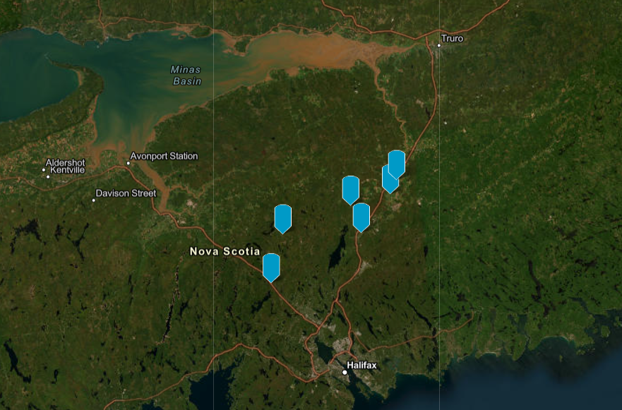
Planning Applications Map
View our planning applications map to see locations of proposed, completed and refused developments.